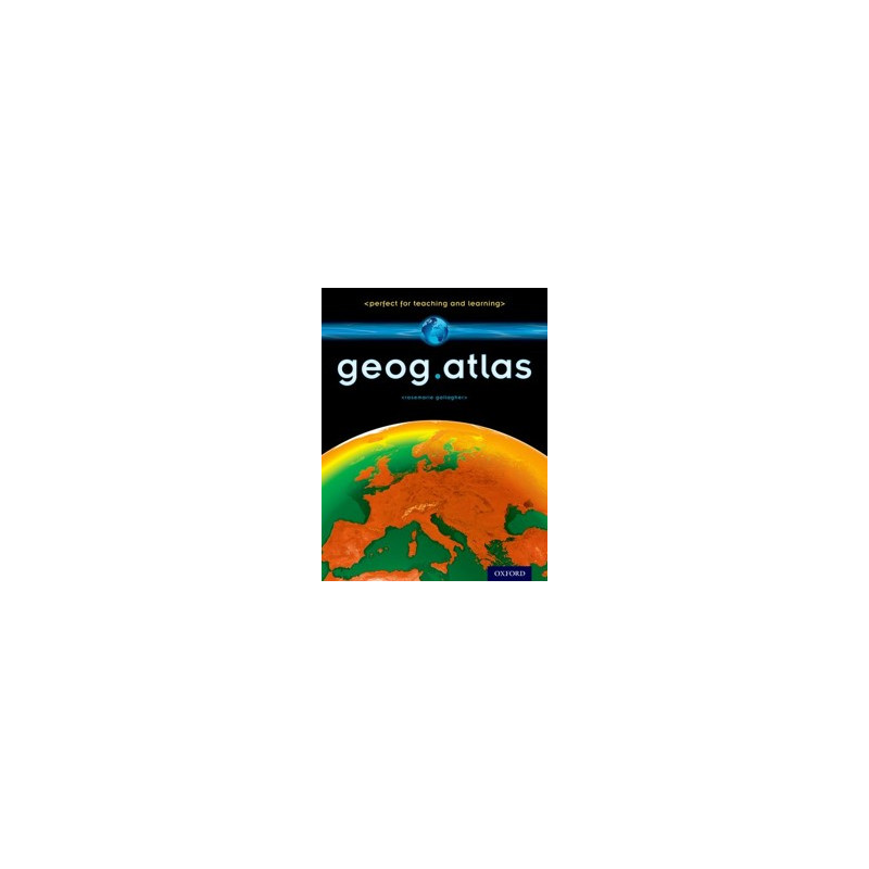
Use the engaging approach of geog.123 to help students develop key locational knowledge and a better understanding of the world - and to enjoy maps.
Features for Atlas:
An atlas in the distinctive, engaging geog.123 style teachers and students know and love.
Improves key locational knowledge through clearly-labelled, focused maps which encourage students to build a secure framework of place knowledge.
Straightforward explanations and advice help students to 'read' maps and understand what they show.
Builds confidence by providing uncluttered maps that are easy to use and interrogate, so students become more confident about looking at and using maps of all types.
Unique coverage of places likely to feature in the news, such as the Middle East, Afghanistan, and the ...
Use the engaging approach of geog.123 to help students develop key locational knowledge and a better understanding of the world - and to enjoy maps.
Features for Atlas:
An atlas in the distinctive, engaging geog.123 style teachers and students know and love.
Improves key locational knowledge through clearly-labelled, focused maps which encourage students to build a secure framework of place knowledge.
Straightforward explanations and advice help students to 'read' maps and understand what they show.
Builds confidence by providing uncluttered maps that are easy to use and interrogate, so students become more confident about looking at and using maps of all types.
Unique coverage of places likely to feature in the news, such as the Middle East, Afghanistan, and the Falklands, helps students understand their world.
Special maps support key curriculum themes like global warming, desertification, and how people spread around the world.
Map keys provide easy reminders of symbols to help students work independently.
Innovative grid codes make it easy to find places listed in the index.
Stunning satellite images alongside physical geography maps help students understand what they're looking at.
'Did you know?' and 'What if. . .' circles bring the maps to life with interesting extra information and engaging facts.
Suitable for use alongside geog.123 or any other course.
CP-9780198390756
Data sheet
Key Stage | Phase
04. Key Stage 3
Year | Grade
10. Year 7 (Age 11 - 12)
11. Year 8 (Age 12 - 13)
12. Year 9 (Age 13 - 14)
Component
Supplementary
Component Function
Atlas
Publication Date
April 2013
Author(s)
RoseMarie Gallagher
Format
Paperback | Other
Specific References
ISBN
9780198390756
Comments (0)
No customer reviews for the moment.
Your review appreciation cannot be sent
Report comment
Are you sure that you want to report this comment?
Report sent
Your report has been submitted and will be considered by a moderator.
Your report cannot be sent
Write your review
Review sent
Your comment has been submitted and will be available once approved by a moderator.
Use the engaging approach of geog.123 to help students develop key locational knowledge and a better understanding of the world - and to enjoy maps.
Features for Atlas:
An atlas in the distinctive, engaging geog.123 style teachers and students know and love.
Improves key locational knowledge through clearly-labelled, focused maps which encourage students to build a secure framework of place knowledge.
Straightforward explanations and advice help students to 'read' maps and understand what they show.
Builds confidence by providing uncluttered maps that are easy to use and interrogate, so students become more confident about looking at and using maps of all types.
Unique coverage of places likely to feature in the news, such as the Middle East, Afghanistan, and the ...